


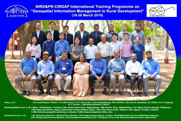
CIRDAP in collaboration with the National Institute for Rural Development and Panchayati Raj (NIRD&PR) has organised an International Training Programme on Geospatial Information Management (GIM) in Rural Development on 19-28 March 2019 in Hyderabad, India.
GIM is proving as a very powerful spatial technology tool for understanding earth features, planning for resource optimization, generation of decision alternatives, real-time monitoring. Some countries in the region have significantly progressed in this direction, but others are yet to take off.
This training has organized to share smart and best approaches of GIM field, and strengthening capacity in member countries to the other CIRDAP member countries.
The objectives of the programme includes the following:
- To promote effective networking among the relevant institutions in the countries of the region and to address common challenges, mitigation and issues and promote information sharing and for South-South cooperation;
- To present case studies on application of the GIM in rural development and to disseminate the same at the regional level; and
- To strengthen capacity building efforts of member countries through training to accelerate application GIM in the region to achieve SDGs.
Eminent experts, who have done considerable works in this filed, was invited as resource person to conduct the training programmes and demonstration of various GIS application modules.
Specific areas like use of GIS in rural development planning, including agriculture, forestry, watershed planning, land use and land cover, infrastructure, water resources, natural resource management and governance issues were discussed. Knowledge was disseminated on various modules with various Geospatial technologies, image processing software, and capabilities.
The regular sessions of the training programme were held through the presentation, discussion, and some hands-on experience. As part of the training programme, participants visited many relevant fields in Hyderabad, Bangalore, and Mysore for gaining relevant knowledge and experience.
The training sessions were attended by representatives of the government departments from CIRDAP member countries and they gained knowledge and skills in the application of GIS and remote sensing tools and techniques in the field of agriculture, forestry, watershed planning, land use and land cover, infrastructure, water resources, natural resource management, and governance. It is expected that the participants will use the knowledge gained in their daily work, resulting in an improved workflow and high quality of outputs, thereby contributing to the better planning and management in their country.
Sri Lanka can take advantage of this innovative technology to maximize economic development including rural development, drive business efficiencies. In the case of governments they would be able to focus on more responsive needs of the population.
Every organisation in Malaysia needs to focus on the integration of geospatial data and analysis in the mission-critical business processes, work flows and on increasing the return on investment (ROI) in Geo-information technology and Geo-database by improving interoperability, decision making and service
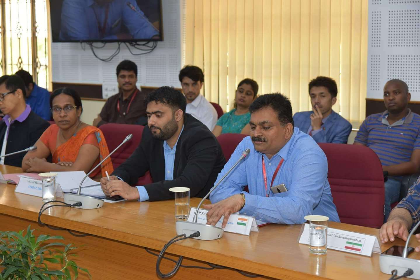
A snapshot of the Training

Participants during field visit