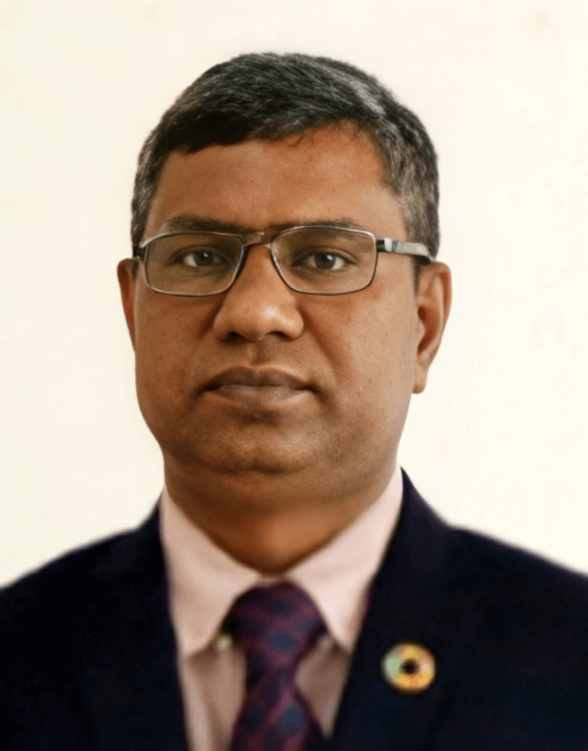
M. Bodruddoza Mia, PhD
Job Title
Name of Organization
Primary Email
Professor, Department of Geology
University of Dhaka
bodruddoza@du.ac.bd
Taught Courses in the Dept. of Geology in DU:
Remote Sensing; Introductory GIS; Advanced Remote Sensing and GIS; Environmental Geology; Geostatistics; Natural Hazards, Climate and Environments; Numerical Geological Engineering; Site investigation methodology; Remote Sensing and GIS Lab; Petrology and Mineralogy lab; Subsurface mapping lab;
Research Interest:
- Remote sensing and GIS for geosciences studies (Hydrological, Landslide, Geo-resources
exploration) - Geo-informatics for climate change studies (Urban heat island, Land use-land cover, Forest Diversity and Ecosystem Management)
- Environmental hazards and disasters (Drought, Soil moisture, deforestation, river erosion etc.)
No. of Year Experiences:
20 Years (2006-2025)
Fields of Expertise
Education
- JSPS (Japan Society of Promotional Science) Postdoctoral Fellowship (2016-2018)
Department of Earth Resources Engineering, Kyushu University, Japan - Doctor of Engineering (PhD in Environmental Systems Engineering) (2013)
Department of Earth Resources Engineering, Kyushu University, Japan
Result: Awarded (with Grade A or Excellent)
PhD Thesis Title: ‘Geothermal exploration and monitoring based on heat flow and
hydrothermal alteration using satellite remote sensing techniques’. Supervisor: Prof. Dr.
Yasuhiro Fujimitsu
PhD Internship (two months): GNS Science, New Zealand. Supervisor: Mr. Chris J
Bromley - M.S. in Hydrological and Environmental Geology (2002)
Department of Geology, University of Dhaka, Dhaka -1000, Bangladesh
Result: First Class First (69% marks obtained) - M.S Thesis Title: Monitoring surface water distribution and mapping landuse-landcover using satellite imageries within exploration block 7, Bangladesh. Supervisor: Prof. Dr.
Khaled Hasan - B.Sc (4 years integrated Honors) in Geology (2001)
Department of Geology, University of Dhaka, Dhaka -1000, Bangladesh
Result: First Class First (67% marks obtained)
Work Experiences (Academic and research)
- 30 October, 2019 to till now:
Professor, Department of Geology, Faculty of Earth and Environmental Science, University of Dhaka, Dhaka-1000, Bangladesh - 15 March 2020-14 March 2021
Principal Investigator, University Grants Commission Project on ‘Impact of urbanization on landuse-landcover, land surface temperature and urhab heat island within the northwest Rangpur division in Bangladesh’. - September 2022 to March 2025
GIS-RS Expert (Part time), Hydrogeological study in Cox’s Bazar and Bhasanchar Island, UNICEF-Dhaka University Project - May 2019 to August 2022
GIS-RS Expert (part time), Hydrogeological zone mapping project in and around Rohiynga Camps, Cox’s Bazar, UNICEF-Dhaka University Project. - July 13, 2015 to 29 October, 2019:
Associate Professor, Department of Geology, Faculty of Earth and Environmental Science, University of Dhaka, Dhaka-1000, Bangladesh - November 10, 2013 to July 12, 2015:
Assistant Professor, Department of Geology, Faculty of Earth and Environmental Science, University of Dhaka, Dhaka-1000, Bangladesh - July 01, 2010 to November 09, 2013:
Lecturer, Department of Geology, Faculty of Earth and Environmental Science University of Dhaka, Dhaka-1000, Bangladesh - October 2007 to June 2010:
Lecturer, Dept. of Petroleum and Mining Engineering, Shahjalal University of Science & Technology, Sylhet, Bangladesh - April 2007 to March 2008:
GIS Specialist (Part time), Mapping on water supply technology under GOB-UNICEF project in DHPE groundwater Circle, Dhaka. - July 2006 to October 2007: Junior Consultant (Hydrogeologist), Deep Aquifer Database Development and Preliminary deep aquifer mapping Project, DPHE-JICA (Japan International Cooperation Agency) Program” DPHE Bhaban, Kakarail, Dhaka, Bangladesh
- February 13, 2006 to June 30, 2006:
Instructor, Department of Mining and Mine Survey, Bogra Polytechnique Institute, Bogra. - March 2004 to May 2004:
Surveyor, 3D Seismic survey in Tengratila-Chatok Gas Block, Sunamganj using RTK GPS, PGS (Petroleum Geo Service) Onshore Inc. Ltd, under NIKO Resources Ltd, Bangladesh.
